It is one of the techniques with the greatest precision and with which we manage to provide value to information. The photogrammetry technique can be performed both on the ground and in the air. In the latter case, we have a minimum cost budget, since little infrastructure is required to take photographs.
During drone photogrammetry:
- Capturing aerial photographs
- Processing using specific programs to obtain 3D models and orthomosaics, obtaining accuracies of around 1 cm in planimetry
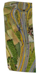
- We obtain digital cartography and orthophotos of maximum precision, especially in areas of difficult access, avoiding endangering field personnel
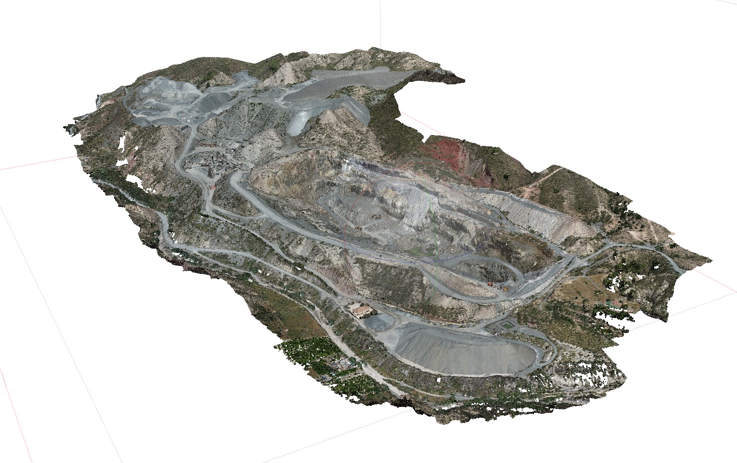
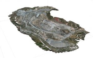
Among the most outstanding standards, we highlight the ease of obtaining a large amount of graphic information of the area where the survey has taken place, the efficiency when representing the surface with points and the final cartography obtained. By using this technique, we obtain quantifiable information from the terrain and physical objects, reconstructing the environment digitally through georeferencing and high-resolution aerial photographs, using the superimposition of photos to generate 2D and 3D products. Using drones to map large areas, compared to terrestrial surveying, results up to 80% faster in surveying operations.
Photogrammetry helps to obtain high-resolution orthomosaics and 3D models with a very high level of detail in areas where detailed information is not available. They are executed quickly with precision and accuracy, providing much more detailed information.
Work site monitoring is also carried out to certify earth movement, obtaining the digital model of the terrain of inaccessible areas and even 360º photos.


Comments are closed.