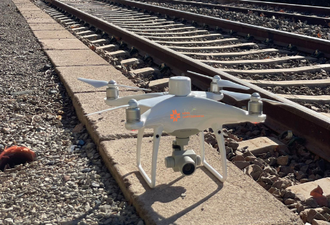
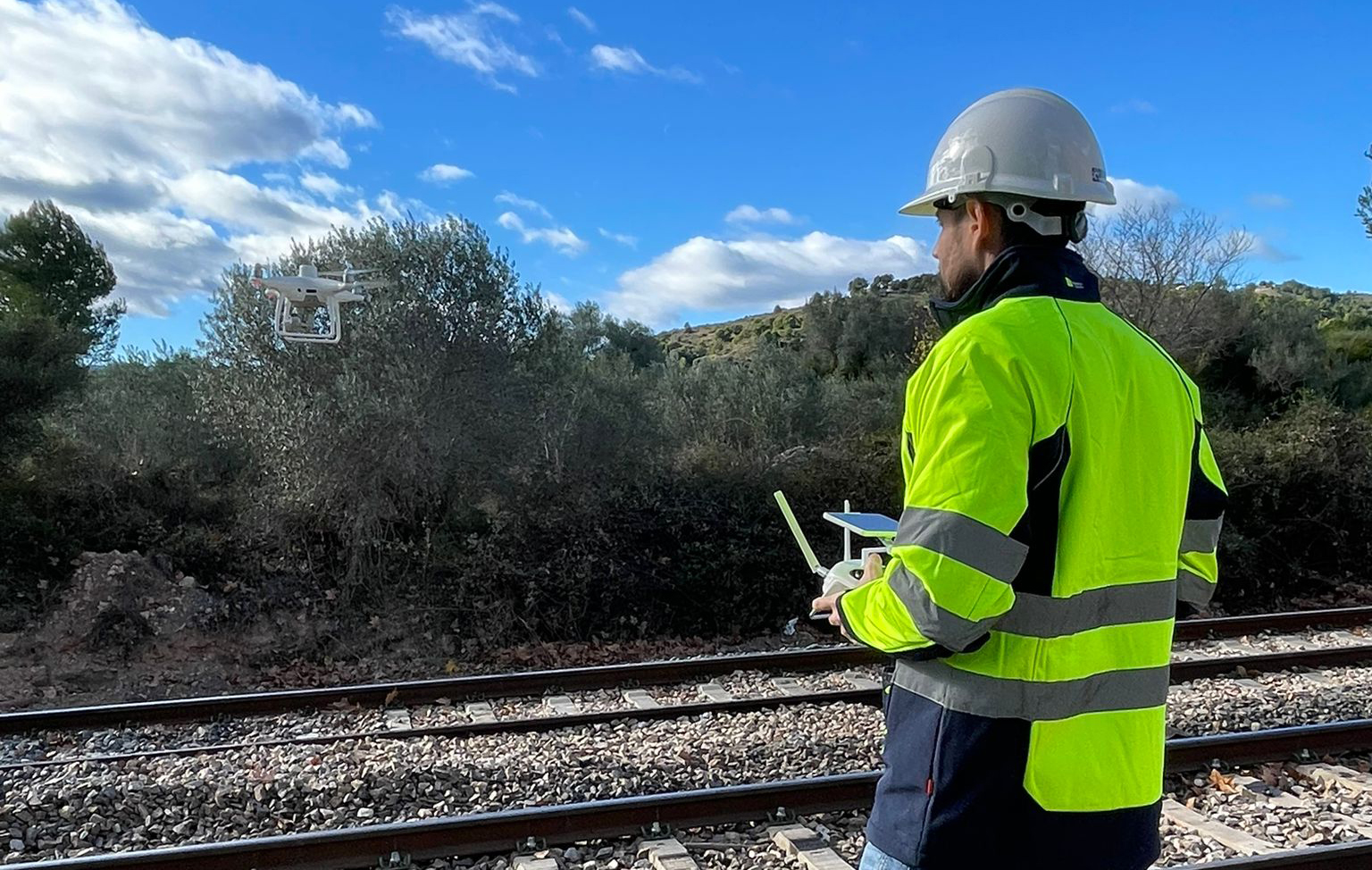
Drone mapping
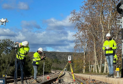
We have the latest technologies and advanced RPAS pilots to carry out photogrammetric flights using a drone.
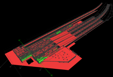
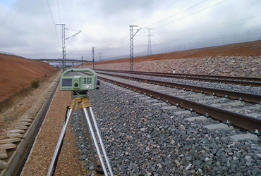
Drone flights for surveying provide us with aerial images that help us to obtain models that give us a series of very useful data in many fields. Starting from control points, and with the photographs obtained by the drone, we obtain precision 3D digital cartography for various applications. Some of our main drone surveying works are:
- Quarry cubing using the photos obtained by the drone.
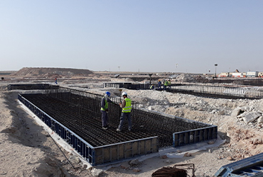
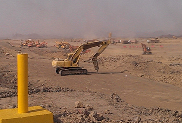
- Earthwork Control in Civil Engineering.
- Precision Mapping for Public Works Projects.
The drone photogrammetry process consists of:
- Capturing aerial photographs.
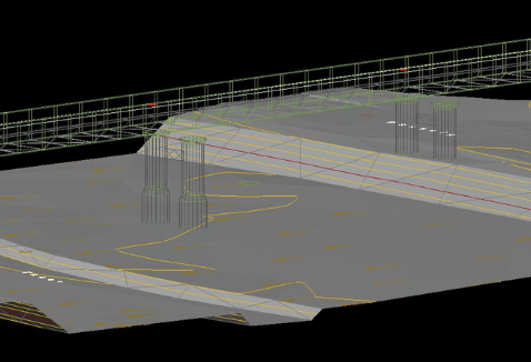
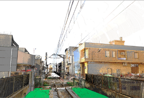
- Processing using specific programs to obtain 3D models and Ortho mosaics, obtaining accuracies of around 1 cm in planimetry.
- We obtain digital mapping and orthophotos of maximum precision.
This service provides different advantages, among which are the safety of the surveyor when obtaining a large amount of graphic information of the survey area, the efficiency when representing the surface with millions of colored points and the visual value of the final cartography obtained.
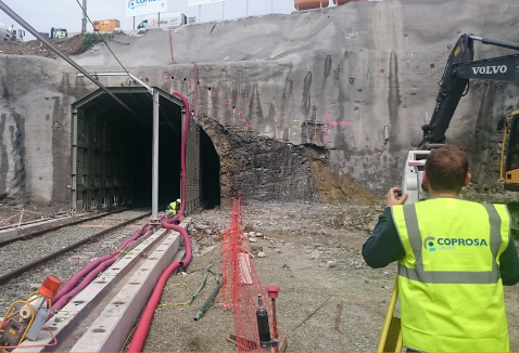
In addition, we also carry out site monitoring for earthwork certification, obtaining the digital model of the terrain of inaccessible areas and even 360º photos.
Get in touch
Case Studies
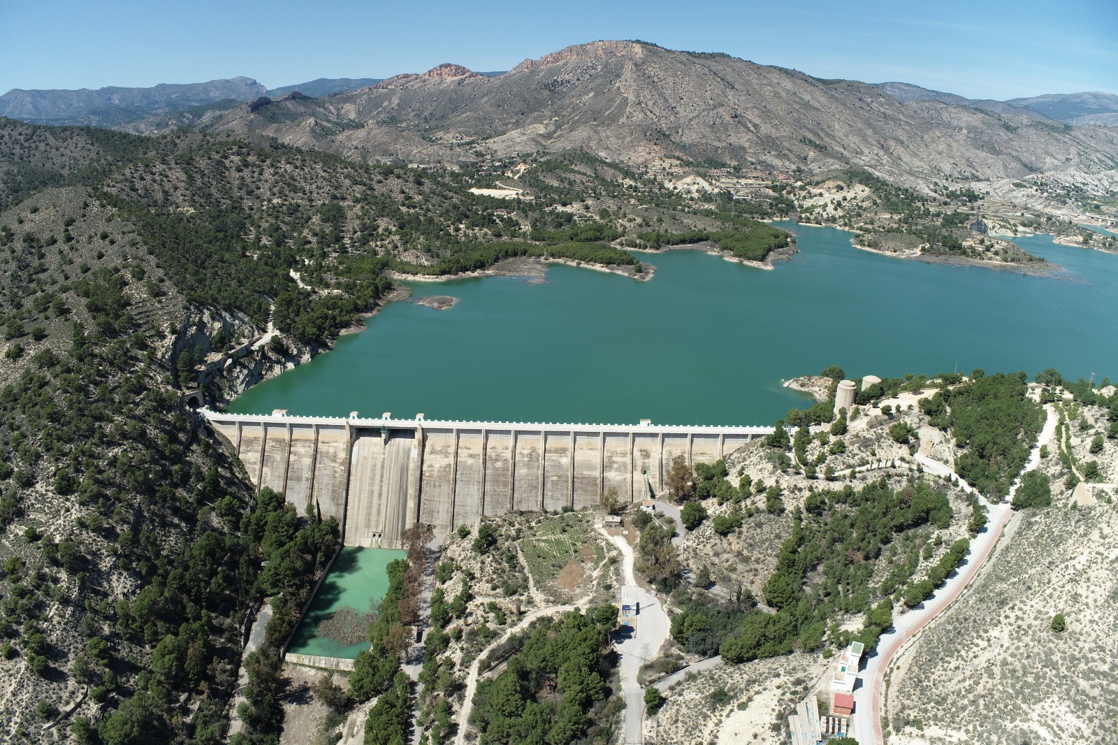
Renewable Energy Mapping
Client:
Date: 2022
Location:
Scope: Drone Mapping in Dam
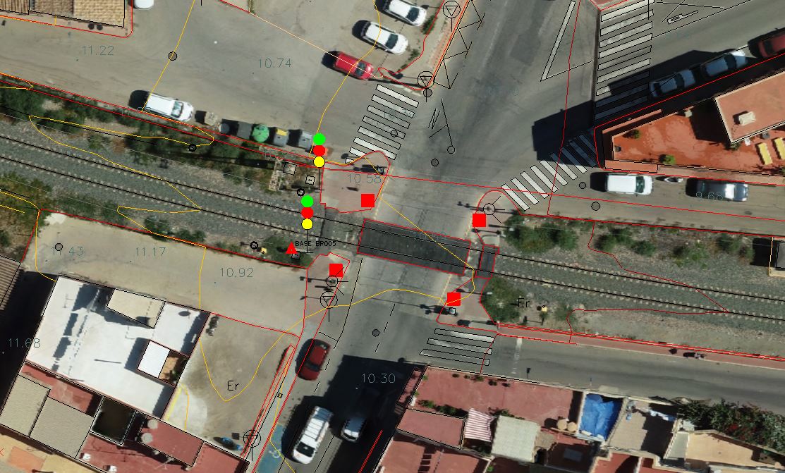
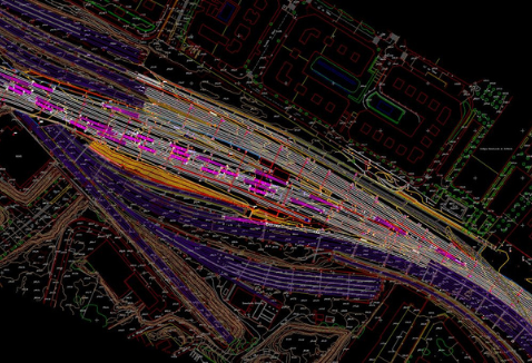
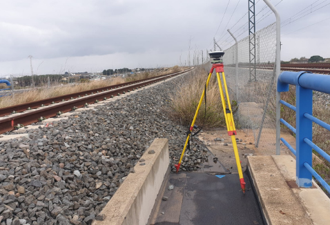
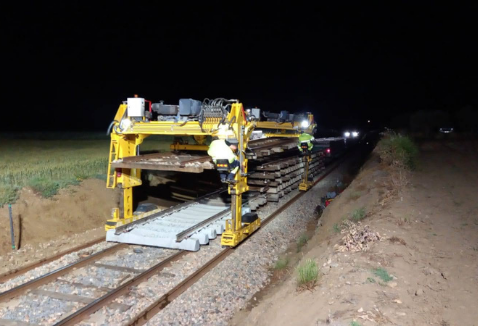
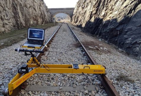
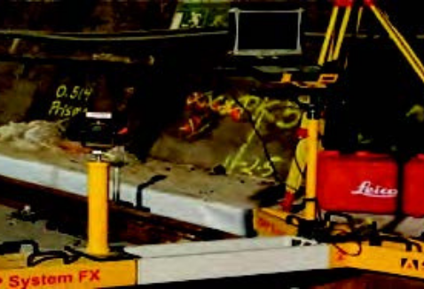
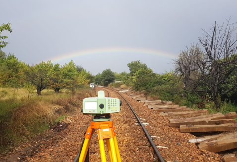
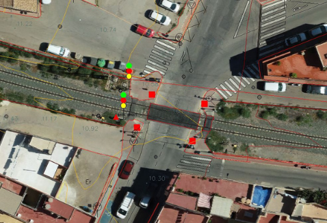
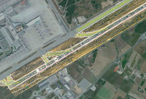
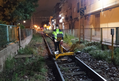
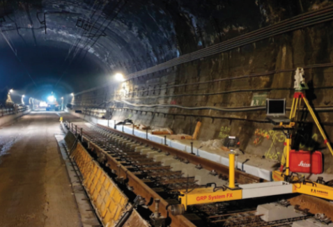
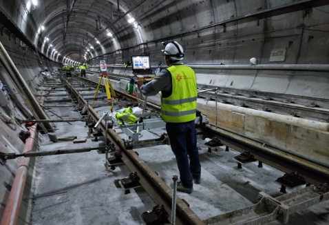
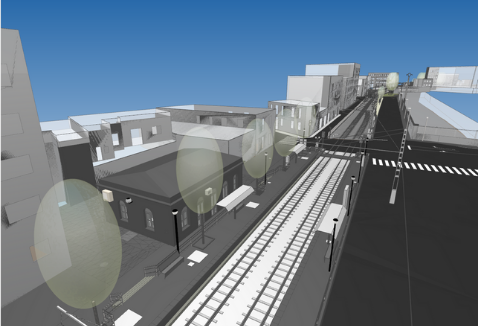
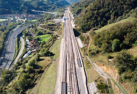
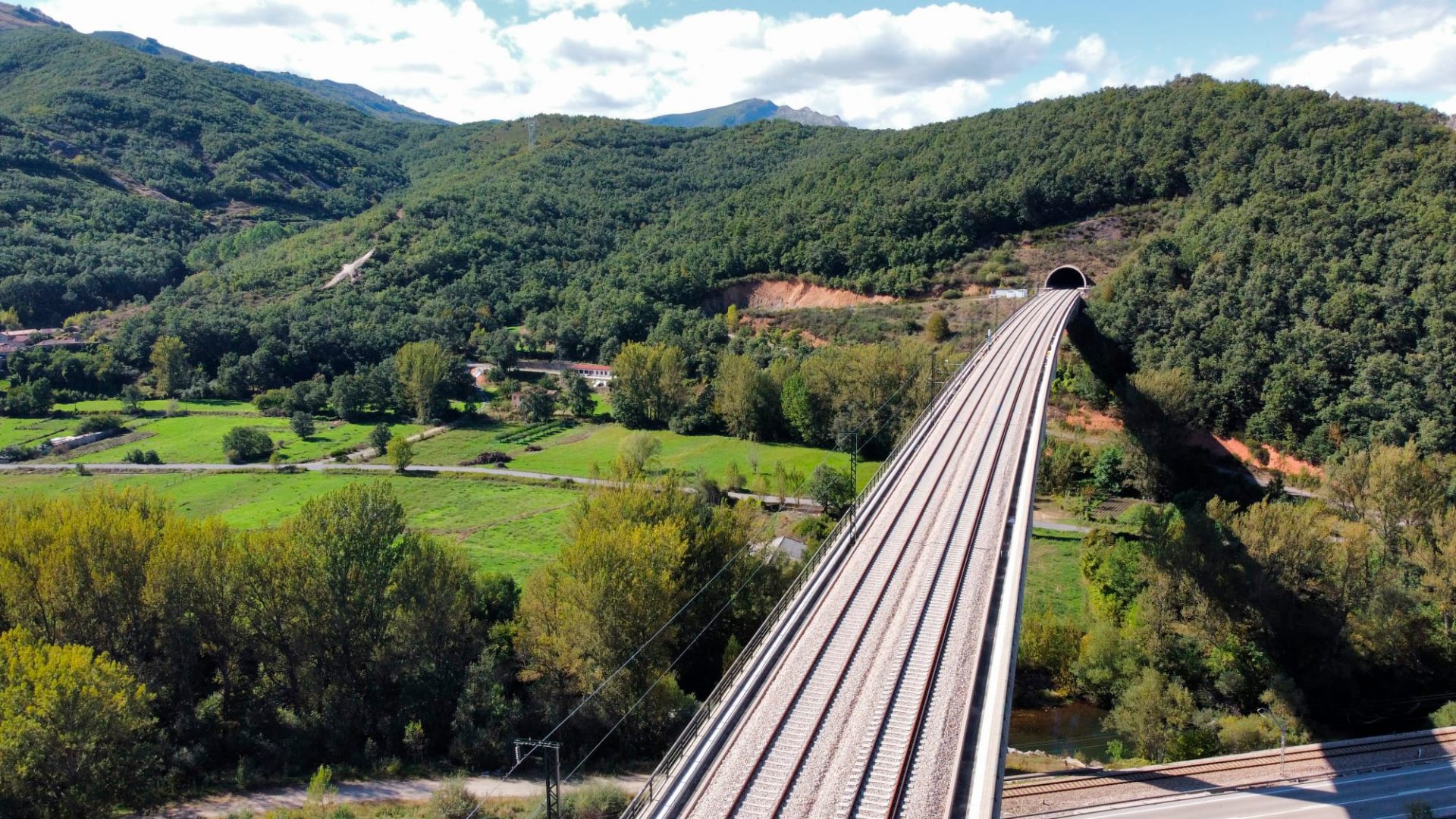
Photogrammetric flight. Murcia Freight Rail. Águilas: Pulpi-Águilas section
Client: OFITECO
Date: 2021
Location: Murcia (Spain)
Scope: Photogrammetric flight by drone of 22 km in length and 1/500 scale cartography Murcia Freight rail Aguilas line. Pulpi-Águilas section. Specifications approved by ADIF.
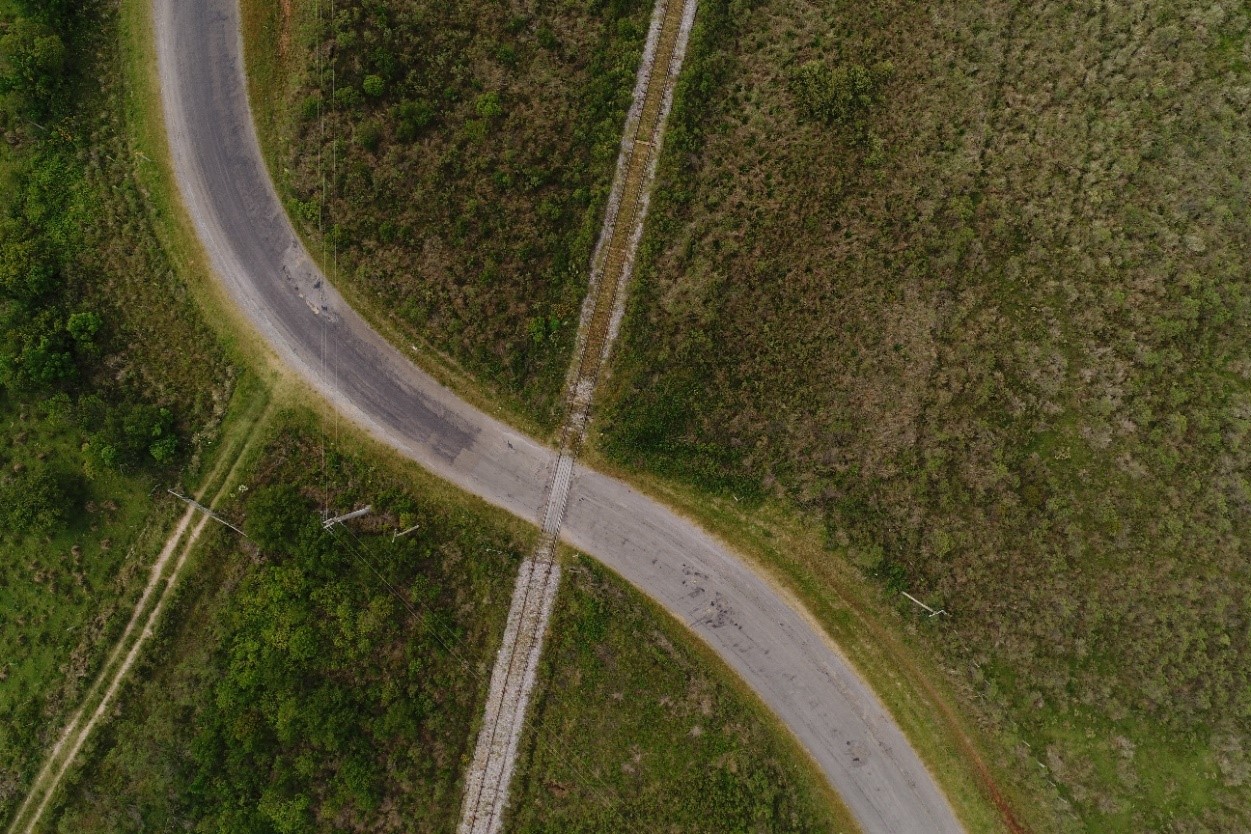
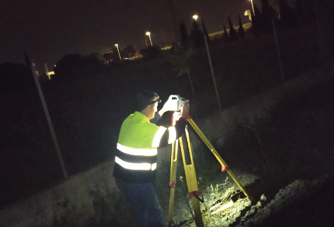
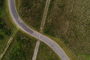
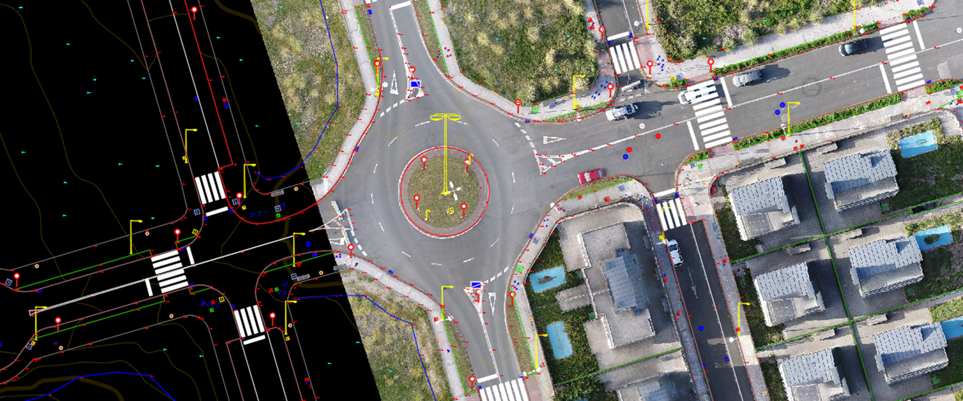
Route 15. Road drone mapping
Client: Rover
Date: November 2017
Location: Uruguay
Scope: Drone flight to obtain cartography of Uruguay's route 15.
More selected projects
Why trust Nova Cartografía?

Geomatics and surveying professionals with 20 years of experience

Immediacy 48-72h
Average workforce of 100 professionals

State-of-the-art technologies
Laser scanner and drone

We cover national and international projects
Nova Cartografía, Inc.
1304 Langham Creek Dr.
Suite 410
Houston, TX 77084
Tel.: +1 832 451 9545 · +34 617 07 48 81
alejandro.moure@novacartografia.com
engineering.usa@novacartografia.com
Spain:
C/ l'Alcalaten 5, Bajo Izquierda
46900 Torrent (Valencia)
========================
Centro de negocios MEEU
Estación de Chamartín planta ático
despacho D105
28036 Madrid


© 2017 GRUPO NOVA CARTOGRAPHIA SL. Todos los derechos reservados. Desarrollado por kuombo